Log in
All resources
Create a design
9,296 Free Artworks of Map Collection
eran laor cartographic collection
maps of paris from the david rumsey historical map collection
david rumsey historical map collection
latin-language maps
atlas map
frans hogenberg
bibliothèque nationale de france
atlas des anciens plans de paris by imprimerie nationale, 1900 from the david rumsey historical map collection
joan blaeu
18th-century maps of paris
maps of braunschweig by braun & hogenberg
eran laor cartographic collection
eran laor cartographic collection
latin-language maps
eran laor cartographic collection
maps of diu by braun & hogenberg
eran laor cartographic collection
latin-language maps
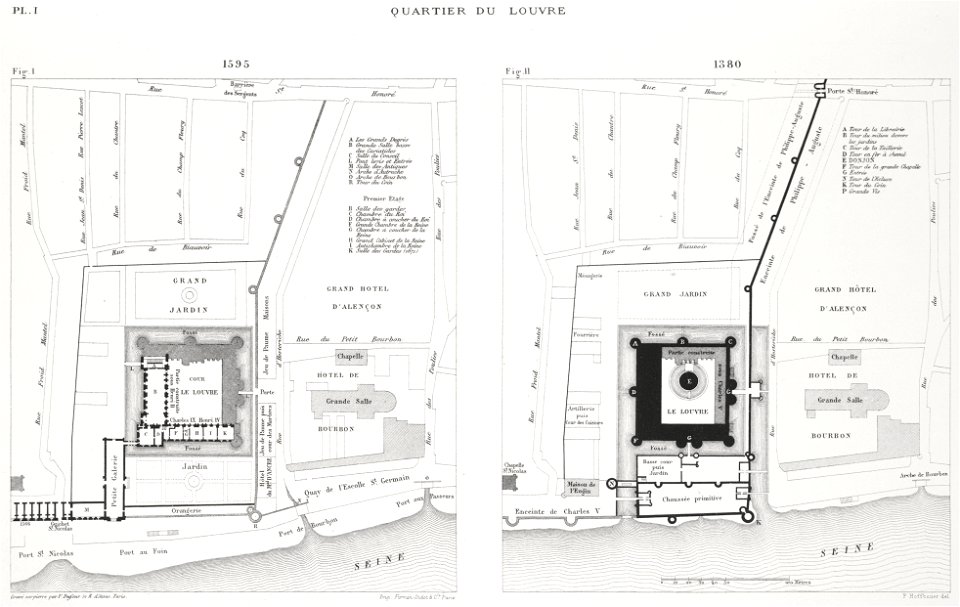
enceinte of philippe-auguste on old maps
1610s maps of paris
eran laor cartographic collection
french-language maps
maps of paris from bibliothèque nationale de france
maps of paris by alexis-hubert jaillot
maps of paris from bibliothèque nationale de france
maps of paris by alexis-hubert jaillot
maps of paris from bibliothèque nationale de france
maps of paris by alexis-hubert jaillot
petit atlas pittoresque des 48 quartiers de la ville de paris, david rumsey historical map collection
maps of paris from the david rumsey historical map collection
maps by william home lizars
1836 maps of mexico
maps by william home lizars
1836 maps of mexico
old maps of the chesapeake bay
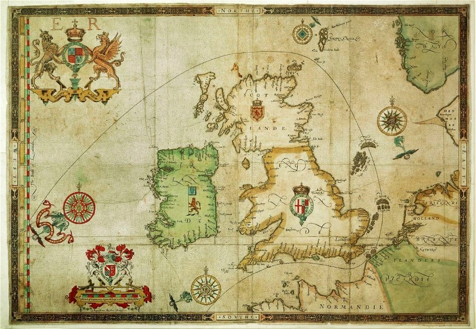
sir walter raleigh
maps showing 18th-century history
old maps of suriname
maps of wissembourg by braun & hogenberg
eran laor cartographic collection
maps of wittenberg by braun & hogenberg
eran laor cartographic collection
maps by willem and johannes blaeu
17th-century maps of europe
media from the national library of finland
classicism
media from the national library of finland
classicism
eran laor cartographic collection
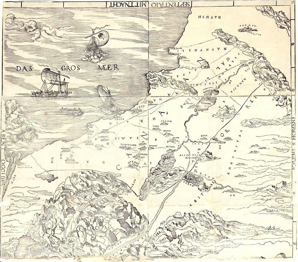
ptolemy's 4th asian map
beschrijvinge ende lof der stad haerlem in holland
willem outgertsz. akersloot
beschreibung der städt der welt - braun & hogenberg - btv1b52512111k
maps of munich by braun & hogenberg
portraits of marshals of france (series commissioned by louis philippe i - versailles)
henri-frédéric schopin
old maps of haarlem
thomas thomasz.
maps of paris from the david rumsey historical map collection
map of paris by jouvin de rochefort (boutier 133)
maps from the portail des bibliothèques spécialisées de la ville de paris
maps from the bibliothèque historique de la ville de paris
atlas maior, vol 11 (asia) - joan blaeu, 1667 - bl 114.h(star).11
1667 maps
dutch baroque architecture
1740s maps of the world
black and white drawings of buildings
hope theatre
maps by pieter pourbus
1570s maps
maps of neuss by braun & hogenberg
eran laor cartographic collection
old county maps of hampshire
old county maps of berkshire
maps by jodocus hondius
1610 maps of europe
dutch baroque architecture
1740s maps of the world
satirical prints in the british museum
caricatures of scotland
media from the national library of finland
classicism
maps of the ottoman empire by mercator-hondius
eran laor cartographic collection
atlas des anciens plans de paris by imprimerie nationale, 1900 from the david rumsey historical map collection
maps of paris from the david rumsey historical map collection
atlas des anciens plans de paris by imprimerie nationale, 1900 from the david rumsey historical map collection
maps of paris from the david rumsey historical map collection
atlas des anciens plans de paris by imprimerie nationale, 1900 from the david rumsey historical map collection
maps of paris from the david rumsey historical map collection
atlas des anciens plans de paris by imprimerie nationale, 1900 from the david rumsey historical map collection
maps of paris from the david rumsey historical map collection
atlas des anciens plans de paris by imprimerie nationale, 1900 from the david rumsey historical map collection
maps of paris from the david rumsey historical map collection
atlas des anciens plans de paris by imprimerie nationale, 1900 from the david rumsey historical map collection
maps of paris from the david rumsey historical map collection
maps of the dutch east india company - india
dutch bengal
count carl gustaf tessin (nm 5535)
rococo
maps in the rijksmuseum amsterdam
published by frans buffa & zonen
maps in the rijksmuseum amsterdam
published by frans buffa & zonen
old maps of heemstede, north holland
old maps of haarlem
maps by richard william seale
1750 maps of africa
1650s maps of the world
age of discovery
carel herman aart van der wijck
louis storm van 's-gravensande
old maps of the dutch east india company - malaysia
maps of the dutch east india company - indonesia
maps by pieter van der keere
willem barentsz
media from the national library of finland
classicism
atlas ou representation du monde universel t. 2 (1633)
maps by jan janssonius
praefectura paranambucae pars borealis, una cum praefectura de itâmaracâ
georg marggraf
maps from university of amsterdam special collections
atlas der neederlanden
maps from university of amsterdam special collections
atlas der neederlanden
maps from university of amsterdam special collections
atlas der neederlanden
atlas des anciens plans de paris by imprimerie nationale, 1900 from the david rumsey historical map collection
maps of paris from the david rumsey historical map collection
eran laor cartographic collection
carolus allard
media from the national library of finland
classicism
petit atlas pittoresque des 48 quartiers de la ville de paris, david rumsey historical map collection
maps of paris from the david rumsey historical map collection
atlas maior, vol 1 (northern europe, norway, and denmark) - joan blaeu, 1667 - bl 114.h(star).1
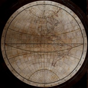
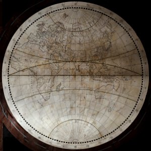
17th-century double hemisphere world maps
eran laor cartographic collection
edward weller
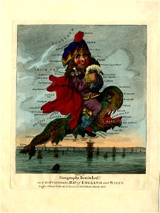
cornell: persuasive cartography: the pj mode collection
kellanova
old maps of shaanxi
animals on maps
jodocus hondius ii, nova totius terrarum orbis geographica ac hydrographica tabula, 1636
eran laor cartographic collection
maps of kozhikode by braun & hogenberg
eran laor cartographic collection
henricus hondius ii, nova totius terrarum orbis geographica ac hydrographica tabula, 1630
eran laor cartographic collection
watercolor drawings by johannes vingboons
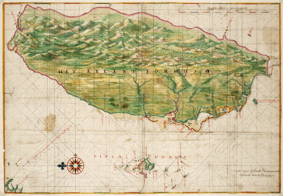
17th-century maps of taiwan
historical map collection
maps of new france
italia antiqua (galleria delle carte geografiche)
old maps of italy
historical map collection
maps by emanuel bowen
maps of the west-indische compagnie
1768 maps of north america
nypl lionel pincus and princess firyal map division
geographical atlases
atlas der neederlanden deel ii: holland 1. zuid-holland
maps from university of amsterdam special collections
atlas van der hagen (volume 4)
atlas van der hagen
1660s maps of spain
1667 maps
maps in the library of congress
1639 maps
dutch baroque architecture
willem pietersz. buytewech
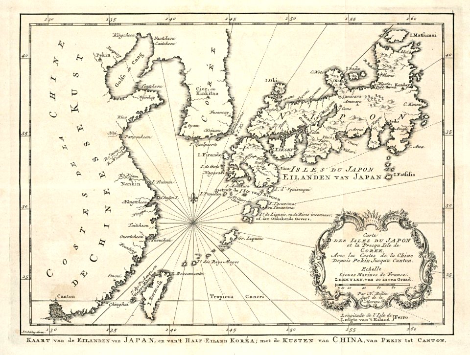
maps of the dutch east india company - korea
maps of the dutch east india company - japan
maps of paris from the david rumsey historical map collection
baroque
maps of paris from the david rumsey historical map collection
baroque
maps in the staats- und universitätsbibliothek hamburg
1844 maps of hamburg
maps made in the 16th century
maps of the spanish armada
1830s maps of the world
maps by daniel lizars
eran laor cartographic collection
latin-language maps
novus atlas sinensis
old maps of hunan
historical map collection
maps by john cary
engravings of louvre by theodor hoffbauer
lithographs of paris
17th-century maps of south america
maps by nicolas sanson
17th-century maps of africa
maps from gallica
1898 covers of puck magazine
drawings of scissors
1942 maps of the world
atlantic charter
carte de la mer mediterranée (1764) by roux
eran laor cartographic collection
carte de la mer mediterranée (1764) by roux
eran laor cartographic collection
carte de la mer mediterranée (1764) by roux
eran laor cartographic collection
maps from the mechanical curator collection
through the subarctic forest (1896) by pike
glam national library of israel-education center
german renaissance
301 - 400 of 9,296
Next page
/ 93